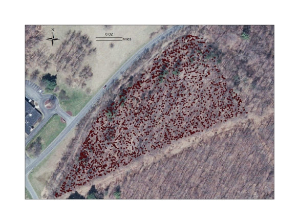
Today is an exciting day in the forest! We just finished locating all of the trees in ArcGIS. That means we know where all the trees are, what their species is, and what its diameter is, and can create a map of these data that is georeferenced to known landmarks in the area. Here’s a rough sketch of what that map will look like in the future:
Each red dot is the location of an individual tree, and has associated data with it–species, DBH, field notes, etc. That’s a lot of trees! Lucky for me (and thanks to some of the #SciFund funding!) I have two awesome undergraduate assistants to help me out.


Reblogged this on Among The Stately Trees.